"Not only is it easy to lie with maps, its essential."
--Monmonier 1991
 Everyday banal practices do not happen in singularities but create lived patterns of discourse and practice that can be captured in "social maps." Yet all maps lie. Still, as Walter Benjamin writes, "in the end, maps and plans are victorious" (1978, 99). That is, as Alfred Korzybski decries in his inescapable dictum, while maps may not be the territory‹ both epistemologically and ideologically distorting ‹they are all we have. Hence, just as Wendy Doniger argues that myth is not error, but narratives that people tell themselves about themselves (1988), maps are not "wrong" but are "spatial narratives," by which people create places.
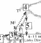
To the right of the sata a lane leads north. You are now walking backwards along the path by which most tourists enter Bhaktapur. Take this lane until you reach the Park Indrani Gate [K] . Passing through the gate you have now ritually and physically left Bhaktapur. You are outside the space of the city. Down the newly widened and brick-paved road (the new entrance to Bhaktapur) is the Tourist Motor Park [T2] that lies in Yalache(n)., a place that at first I had shunned because it had seemed so "pedestrian."
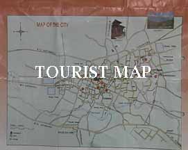
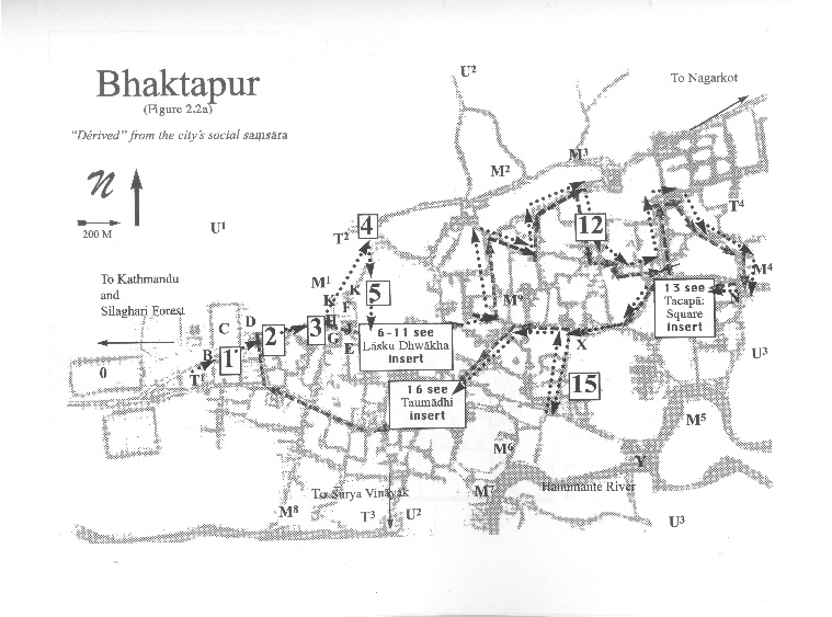
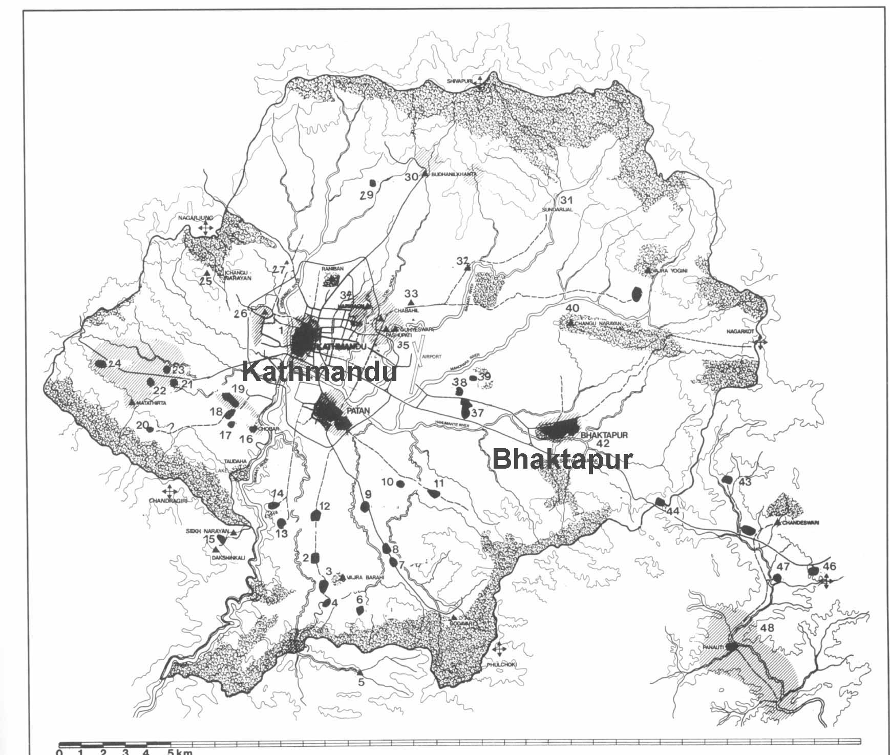
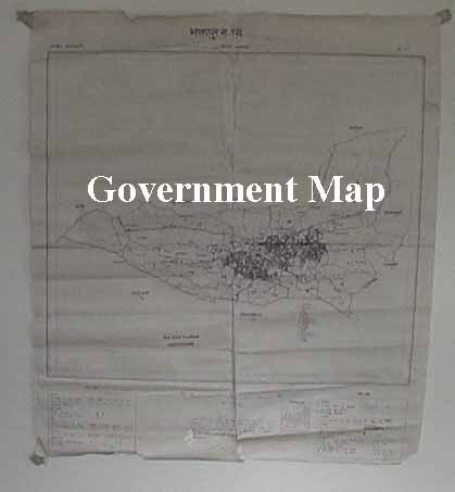
As the walk shows, there is no "master map" of Bhaktapur. Everyone shuttles back and forth between different notions of place. Yet, just because all maps are models informed by practice and ideology does not imply that anything goes. In Bhaktapur, as can be seen in Mayor Prem Suwal speech from on 3 October 1997 for the inauguration of the Tourist Motor Park, there are three main "social maps" by which people make the city. I gloss the three maps as, the mandala map,
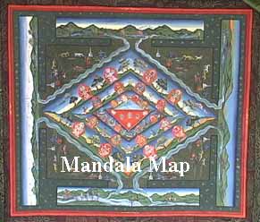 the tourist map, and the government map. To interpret these, I turn to three concrete maps of the city.